Traffic signs on the Route de la BeauceTraffic signs on the Route de la Beauce
©Traffic signs on the Route de la Beauce|Stéphanie Allard
Traveler in roadtrip mode

The Beauce Route in landscape mode

Stéphanie at the summit of Sugar Loaf mountain in the Parc des Appalaches at Sainte-Lucie-de-BeauregardStéphanie at the summit of Sugar Loaf mountain in the Parc des Appalaches at Sainte-Lucie-de-Beauregard
©Stéphanie at the summit of Sugar Loaf in Appalachian Park
Stéphanie Allard

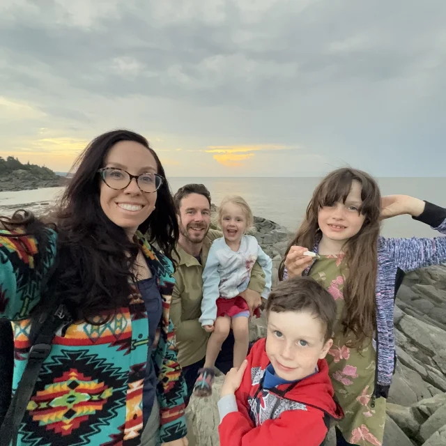
Everyone knows the Beauce. Whether it’s for its legendary population, its popular language, its strong entrepreneurial spirit, its dynamic agricultural sector and, of course, its maple syrup industry (mmmm good maple syrup). Today, I invite you to discover this beautiful part of the Chaudière-Appalaches region through the landscapes along the Route de la Beauce!

 And it's a start!

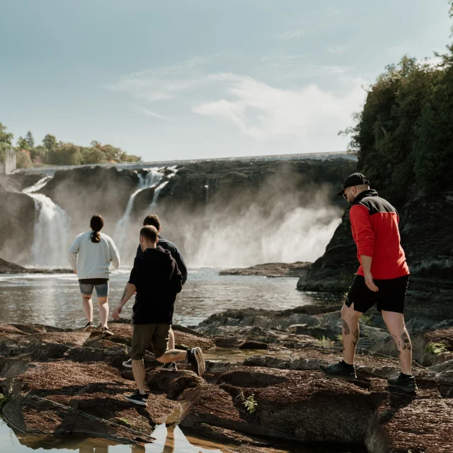
It’s always a pleasure to drive on a road that follows a river. It often affords superb views over magnificent landscapes, and often leads to the discovery of beautiful villages no longer visible on the freeway. The Route de la Beauce is one such route worth exploring, quietly tucked away in its valley along the beautiful Rivière Chaudière.

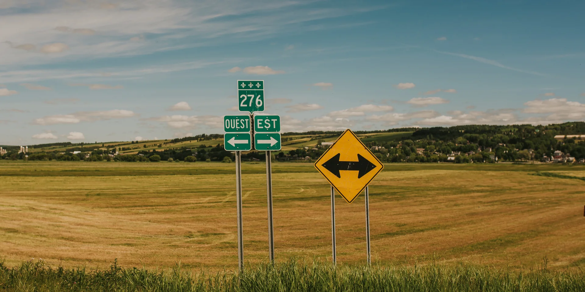
From Lévis, near the bridges, take Highway 73 south to exit 115 for Saint-Lambert-de-Lauzon. Then take Route 171, let the river guide you, follow the blue signs and off you go! First stop, Parc du Détroit de la Chaudière, where you can observe the river from many angles, even from above.

 Nature in the heart of the city

Further afield, in Sainte-Marie, the Domaine Taschereau – Parc Nature, a flood park located in the heart of the city, offers fine views from its aerial walkway and allows us to discover an entire ecosystem where over 150 species of birds can be observed. Not far from the park, the 207-metre-long Pont Famille Beshro allows us to cross the Chaudière River from one bank to the other, on foot or by bike.

 The Beauceron valley in all its splendour

The next village, Vallée-Jonction, spoils us with superb views of the rolling landscape and surrounding fields. We love taking the time to stop here and there to contemplate the many colors of nature and the fields, while enjoying the tranquility of the surroundings. In Saint-Joseph-de-Beauce, you can get up high and enjoy a superb view of the town, its buildings and the valley in the background. We then take the old one-lane bridge to the other side of the river, to discover the west side of the river and its beautiful country roads.

 A surprising tête-à-tête with the devil

In Beauceville, we return to the east side and make a short stop at the Parc des Rapides du Diable to take a break and observe the river and its rapids. And don’t forget to take the Véloroute de la Chaudière, which runs along the river for over 140 kilometers and offers magnificent views of the river in this area, once again laid out as a bike path.

 Picnic, sculptures and waterfalls

In Notre-Dame-des-Pins, you absolutely must take the time to admire the Perrault Covered Bridge, the longest of its kind in Quebec. Here, a picnic stop gives us access to the riverbank and allows us to contemplate it up close. We then cross the nearby viaduct to return to the west side of the riverbank and follow the road back to Saint-Georges.

In Saint-Georges, a stroll through the town center and the three parks that make up the Domaine de la Seigneurie is a must. Over the years, the area has become a veritable open-air museum, with hundreds of lilacs and impressive sculptures added to the heart of the town every year. The Parc des Sept-Chutes offers 8 kilometers of hiking trails, culminating in a 25-meter-high suspended footbridge overlooking the seventh waterfall.

 A beautiful finale

Officially, the Route de la Beauce ends (or begins) in the village of Saint-Gédéon, some 30 km away. On the way there, you pass through Saint-Martin, where a multifunctional footbridge allows pedestrians, cyclists, quad riders and snowmobilers to cross from one bank to the other in complete safety. It’s well worth stopping here to observe and take a few shots of the beautiful river. In Saint-Gédéon, you can visit the papal podium, a steel structure under which Pope John Paul II celebrated his first mass on Canadian soil in 1984. There’s also a lovely little quay in the village center, where you can relax and watch the river flow by.

 What about the return?

Here’s a suggestion for the way back. Since there are roads on both sides of the river, why not take the ones you haven’t taken yet, whenever possible? You’ll both see different viewpoints and discover new places!

Photos: Stéphanie Allard, Julien Roussin Côté and Karolina Krupa of Go-Van

The Beauce Route

140 km of superb scenery, alternating between the east and west sides of the Chaudière River. Nature, history and the great outdoors!

More stories