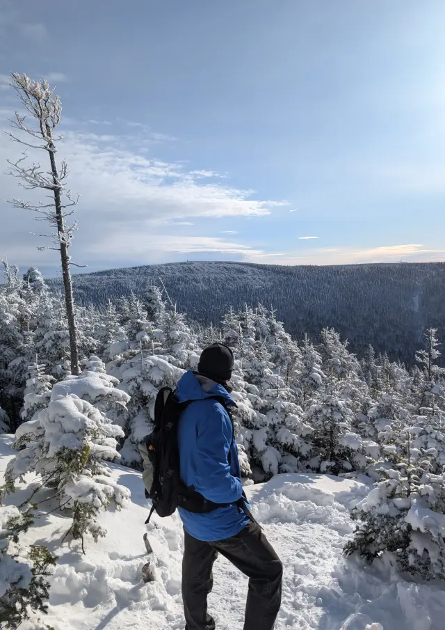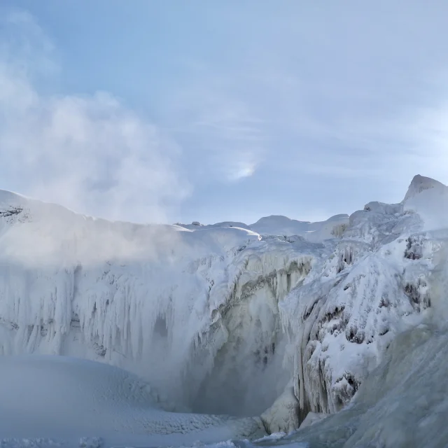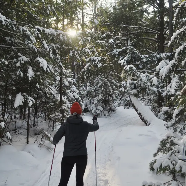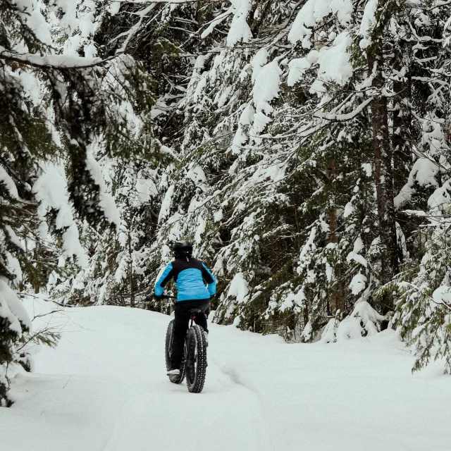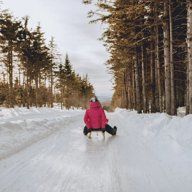

When I went to bed, the idea was to do the trail of Mont Saint-Magloire the next day. When I woke up a little later than planned (I have a good reason*), I knew that it would be replaced by the Crête des Grives trail. We weren’t disappointed at all. What a great hike!
Equipment and gadgets
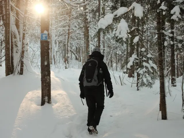
As we turned up at 10.30am, it was too late for the Mont Saint-Magloire trail, so we opted for the Crête des Grives trail.
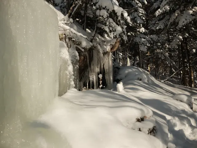
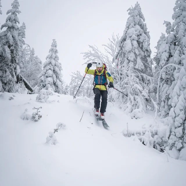
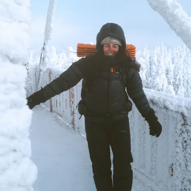
Snowshoeing or crampons? The friendly receptionist told us that they hadn’t yet had any feedback from people on this trail today. She confirmed that for most of the route, crampons should be enough, but that as we got closer to the summit, it might be less certain. We decide to go ahead with our crampons anyway, at worst we’ll retrace our steps if things get too complicated!
I adjust my new watch on the way to Crête des Grives and, at the same time, I test the Avenza application on my mobile because I’ve also downloaded the complete map of the Parc du Massif du Sud into the application.
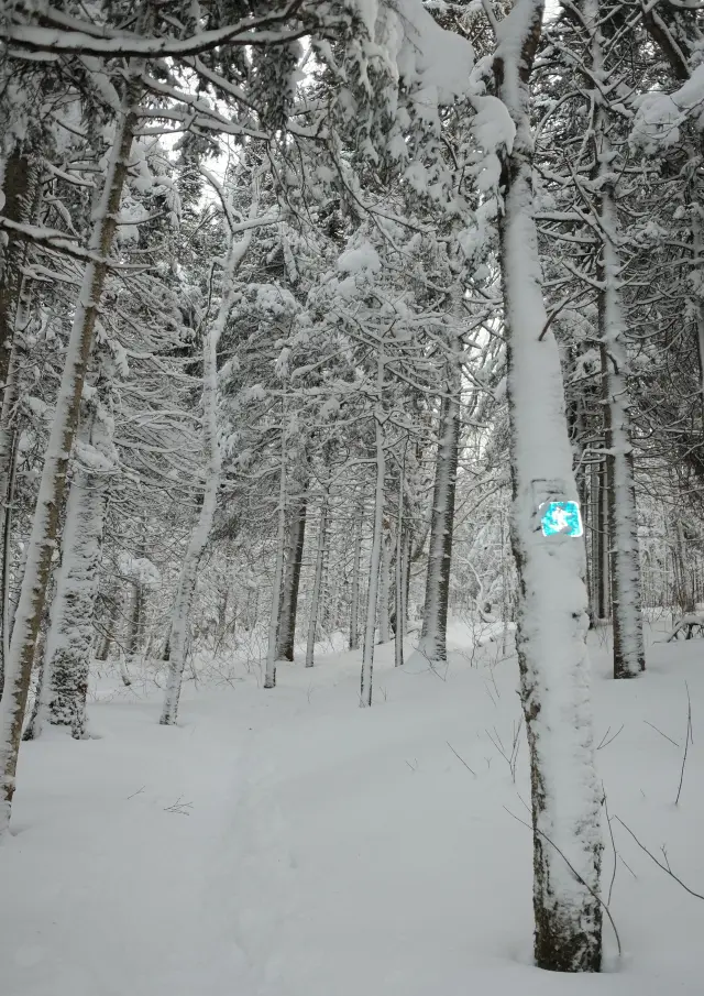
It’s not true that we’re going to get lost here!**
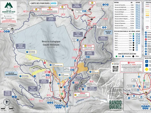
Map Bn Winter 2025 2026 1
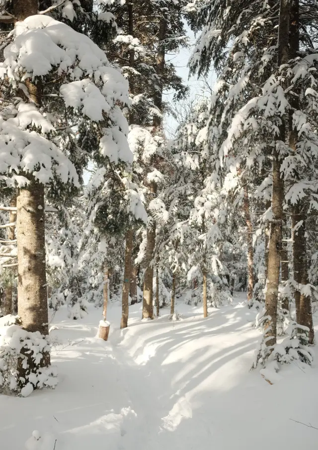
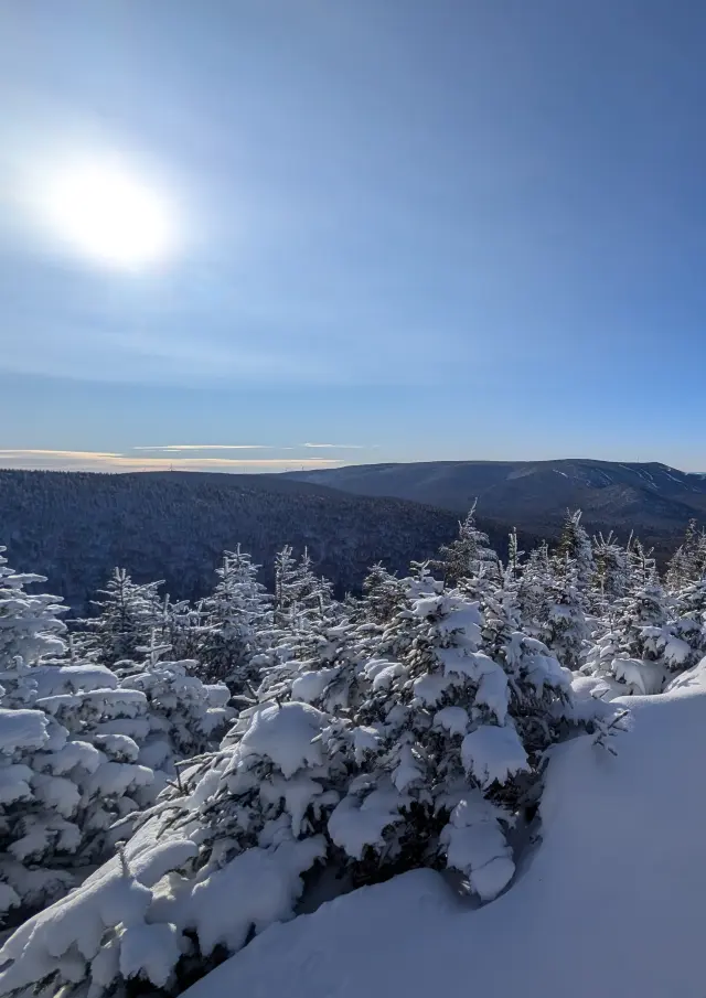
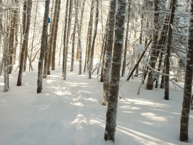
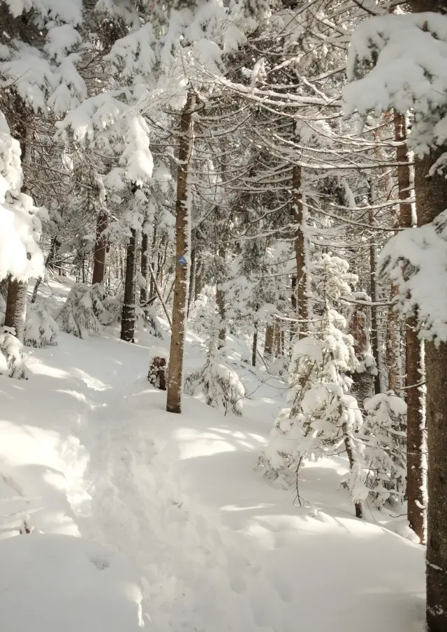
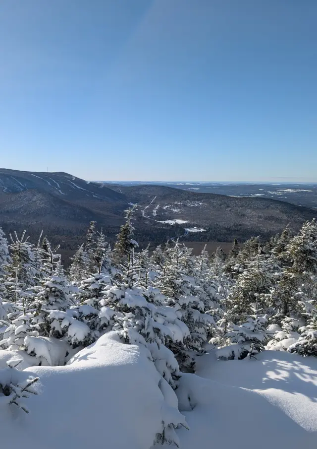
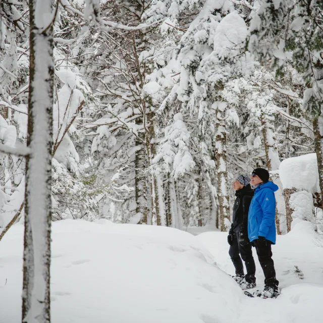
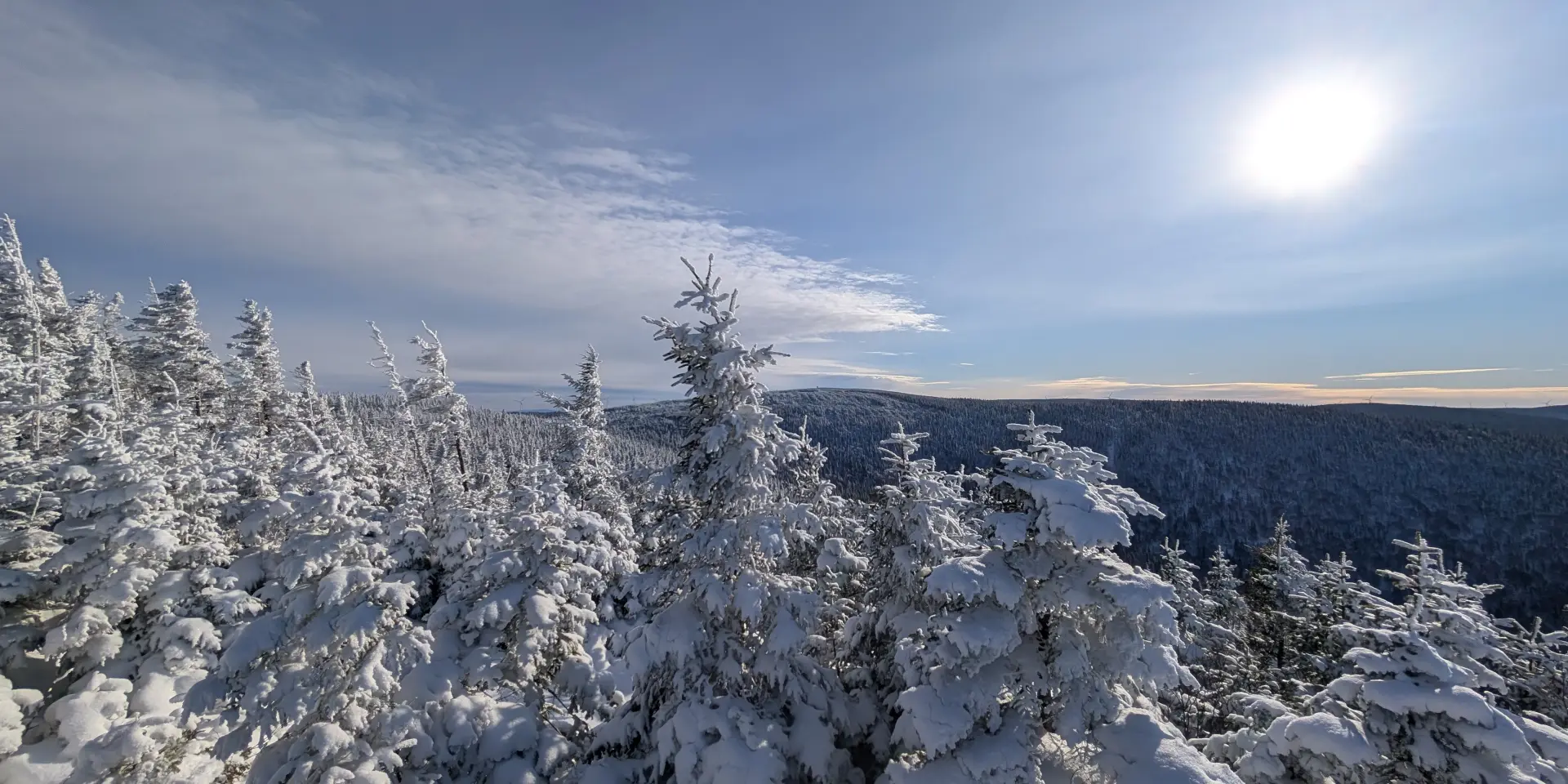
The ascent, let's go!
On the way back, looking at my ‘Heart Rate vs Altitude’ cross chart in my app, it looks like it went really well.
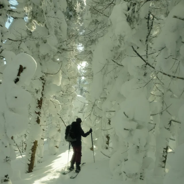
Actually, yes! But that doesn’t tell the whole story. Including the two times when my girlfriend picked up one of my crampons that had come off***, and also the time when I didn’t look too closely when crossing a small bridge over a river and ended up fall flat on one’s back (Sorry, no photos).
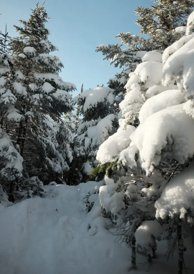
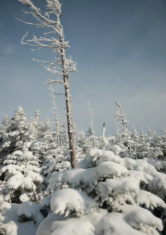
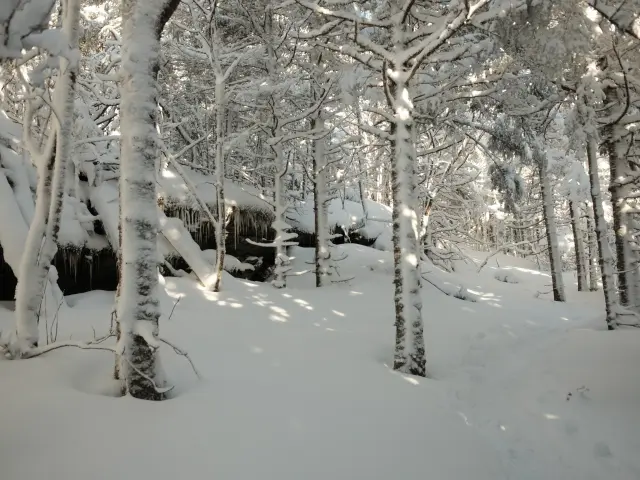
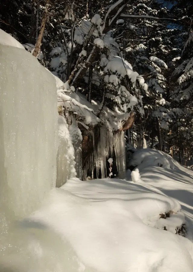
Seriously, apart from these moments of entertainment that I’ve developed the habit of offering free of charge to my girlfriend (I am generous like that), the climb was beautiful and mostly gentle, except for a few places that required a bit more effort on our part. In fact, more for me than for my sweetheart, 7 years younger.