

The sugar bushes
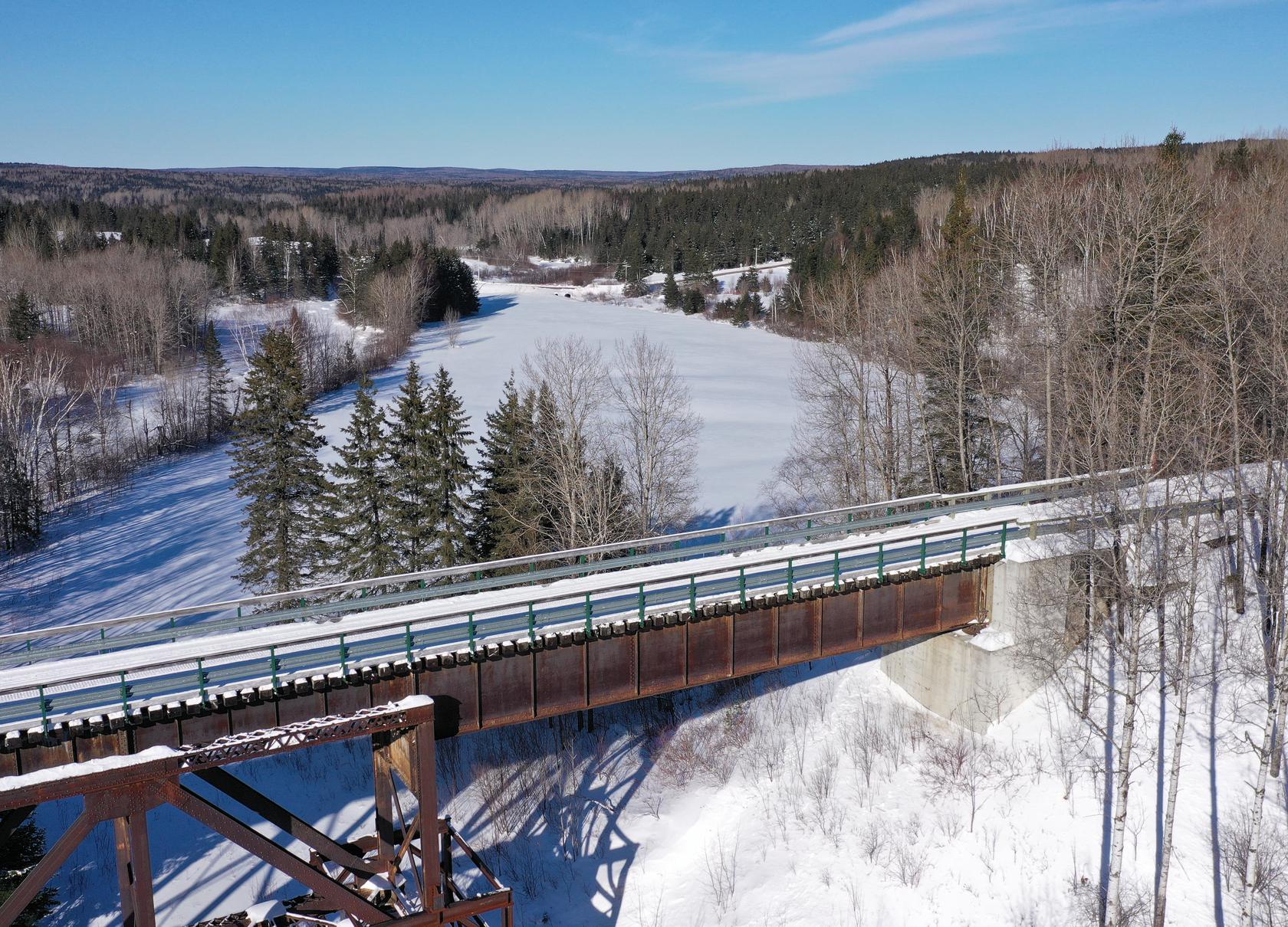
This itinerary is located east of the region in the Appalachian Mountains. This 255 miles loop allows you to discover a multitude of sugar bushes, as well as two regional parks.

The Sugar Bushes - 255 miles
Itinerary map
Consult the interactive map and display the points of interest of your choice such as: accommodation, relays/refuges, restaurants, gas stations, etc.
THE mount du midi
Snowmobilers Favourite
The Mont du Midi observation tower at the top of the Massif du Sud ski center is at a height of 3,000 feet and is offering an impressive view of the Appalachians! On trail 547.

During your snowmobile outing
The sugar bushes
sector

Mount
Saint-Magloire

Monk section
on trail #35
255 mi
the sugar bushes
This itinerary is located east of the region in the Appalachian Mountains. This 255 miles loop allows you to discover a multitude of maple groves, as well as two regional parks.
Before you leave, check
the latest trail conditions !
