One of the region's gems, to discover over and over again!
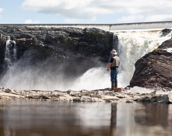
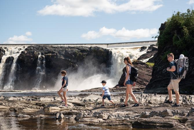
The Parc des Chutes-de-la-Chaudière is where the 35-meter-high waterfall offers a striking spectacle. It's the perfect place for a picnic or to simply enjoy mother nature at its best. You will also find there a fitness circuit.
The suspended footbridge view
The « LIVE FOR REAL » Signature Experience
Admire the waterfalls from a 23-meter-high suspended footbridge above the Chaudière River. A spectacle you do not want to miss!

10 « LIVE IT FOR REAL » moments at the Parc des Chutes-de-la-Chaudière


In a nutshell !
When is it open ?
- The site is open year round.
- The snack bar is open on weekends during summer only.
How to get there ?
- Eastside parking - highway 73, exit 130 (four parking lots)
- Westside parking (Saint-Nicolas) - Highway 20, exit 311 then route 116 west (one parking lot)
Parking is prohibited between 11 p.m. and 5 a.m.
How much does it cost to visit?
the sectors

The Eastside sector
The Eastside Sector is accessible via the Beauce highway (A73). There are four parking lots available. You can access the multifunctional trail (biking and walking) which passes through this sector.
You will find there a picnic area, as well as a small snack bar. This sector also offers many point-of-views of the Chaudière River, the waterfalls, the dam, and the suspended footbridge.
Trails to discover :
- The Footbridge (360 m)
- The Belvederes (630 m)

The footbridge
The 113-m-long and 23-m-high suspended footbridge is located above the Chaudiere River and offers a breathtaking point-a-view of the waterfalls. The structure of the bridge was inspired by the Pierre-Laporte bridge, located not too far from there.

The Westside sector (Saint-Nicolas)
The Westside sector (Saint-Nicolas) is mainly constituted of the footbridge park, where you will find a fitness circuit, a parking lot, a playground, and a picnic area.
This sector also offers many point-of-views of the Chaudière River, the waterfalls, the dam, and the multifunctional trail.
Trails to discover :
- The Swamp (2 km)
- The Woodland (440 m)
- The Peninsula (830 m)

The dam and the hydroelectric power plant
An exceptional flood destroyed the original facilities in 1970, but the new dam and hydroelectric power plant weren't installed until 1998.


